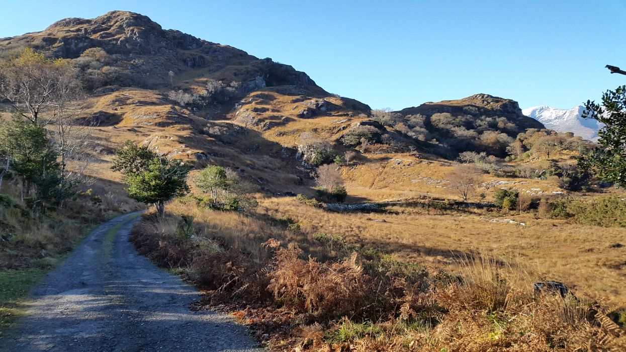
The Old Kenmare Road
This 16km hike from Kenmare to the car park at Torc Waterfall presents a mixture of terrain. It passes through some hilly areas, woods, some marshy ground with views of mountains, sea, lakes and woodland. Bring a map Ordnance Survey Ireland Discovery Series 78. Bring some drinks and snacks also. Be careful not to litter and remember to arrange a lift back to Kenmare from Torc!
Be alert for wildlife such as deer, eagles and the elusive pine marten.
Start walking in Kenmare – Follow the tarmac road through the townlands of Dromneavane, Kilmurry and on to Gowlane.
Gowlane Cross – You can drive to this point if you wish and start walking from here. The road becomes an unsurfaced track at this point with some raised walkways and wet ground.
Windy Gap – At 330 metres, this is the highest point of the walk. Peakeen Mountain will be to the west and Knockanaguish to the east. These hills are not difficult to climb and offer spectacular views over Kenmare bay and the surrounding country side. Maybe, you should bookmark them for another day.
Galway’s Bridge junction – The hike can be shortened at this point by turning left and walking to the bridge on the N71 road.
Esknamucky Glen lies between Cromaglan Mountain and Stumpacommeen – after this is the glen known as Crinnagh.
Descend along the line of the Owengarriff River between Torc Mountain and Mangerton Mountain.
Carpark at Torc – The Old Kenmare road ends here. It is a convenient place to meet your transportation.
Get in Touch
Address
—


